![]()
Behadrey Haredim forecaster: Will there be a wave of snow on Friday?
Special: The various models are divided on the cold synchronization and precipitation Friday, doubt about Shabbat
- Eli Shlesinger
- י"ח טבת התשע"ה
יודל מילר
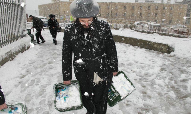
Snow continues to fall in Jerusalem all the time in intervals, it is not entirely clear snow so this time there is a significant gap between the high to low neighborhoods.
Low neighborhoods are seeing more rain and snow, while the upper neighborhood snow catches and piled up slowly another inch and another inch, expected pre-stack was not high and apparently there is no deviation from the forecast moderate predicted in advance, Jerusalemites will be disappointed.
The snow will quickly melt tomorrow, at noon yesterday I mentioned Jerusalem will be open, probably as early as lunch; Jerusalem will be completely leveled due to excessive deployment and justified by trauma from last year.
About Friday, not expected something dramatic exception of extreme cold at all levels, there is a lack of synchronization point, extreme cold comes in the evening and precipitation ends at noon, the model is the only model who insists on synchronization, time clock ticking as the other models did not join him chance is declining, at one point the models must synchronize them pretty much.
Jerusalem will receive another wave on Friday, if he would be stacked or not it is up to the intensity of rainfall that has enough cold and plentiful, currently possible but it can completely change one update at a stroke.
Actually further south may be more significant that the outlet is located south too, perhaps in Mitzpe Ramon and Arad we get updates on more massive, the North had not expected rainfall on Friday.
When extreme cold will no longer enters the sediment, ice dripping individual may potentially lose all places higher than 300-400 meters in the center and south.
A massive wave and very significant in terms of precipitation comes to us on Saturday afternoon, but the cold is moderated somewhat, so the expectation is snow peaks only, strengths precipitation very high and there is a fear of flooding if the cold would get the updates below there is potential for more good dose of snow, if not, this will add greatly to sea water.
תגובות
{{ comment.number }}.
הגב לתגובה זו
{{ comment.date_parsed }}
{{ comment.num_likes }}
{{ comment.num_dislikes }}
{{ reply.date_parsed }}
{{ reply.num_likes }}
{{ reply.num_dislikes }}
הוספת תגובה
לכתבה זו טרם התפרסמו תגובות